Warning: "continue" targeting switch is equivalent to "break". Did you mean to use "continue 2"? in /home/httpd/vhosts/egsiem.eu/httpdocs/plugins/system/t3/includes/menu/megamenu.php on line 141 News
Home

This May, the fifth ESA Living Planet Symposium (LPS) was held in Prague, Czech Republic. Over 3000 participants from diverse scientific background, ranging from land management over geomagnetism to cryospheric sciences took part, making this the largest LPS to date. The keynotes from the Prime Minister of the Czech Republic, Bohuslav Sobotka and the ESA Director General, Johann-Dietrich Wörner highlighted the importance of Earth observation data for climate and disaster monitoring.

ESA LPS Header


Scientists from EGSIEM were able to present many facets of our project to Europe's largest gathering of geoscientists at the EGU conference where over 13,650 scientists from 109 countries participated.

Please click on the logo below to see a list of, and view, the EGSIEM-themed presentations and posters given at EGU2016. You can discover more about EGU conferences by clicking here.

EGU2016 Logo 


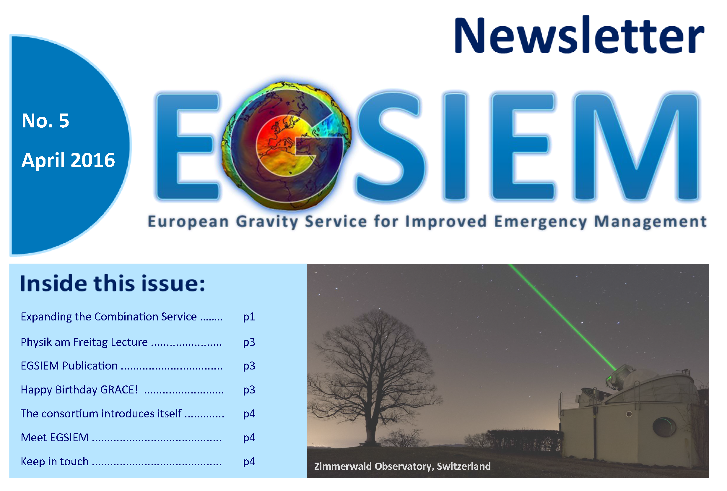
Here you can read our fifth Newsletter, simply click on the image below.

We would love to hear any feedback you might have on the content, so please do contact us if you have any comments!

Newsletter 5 Link

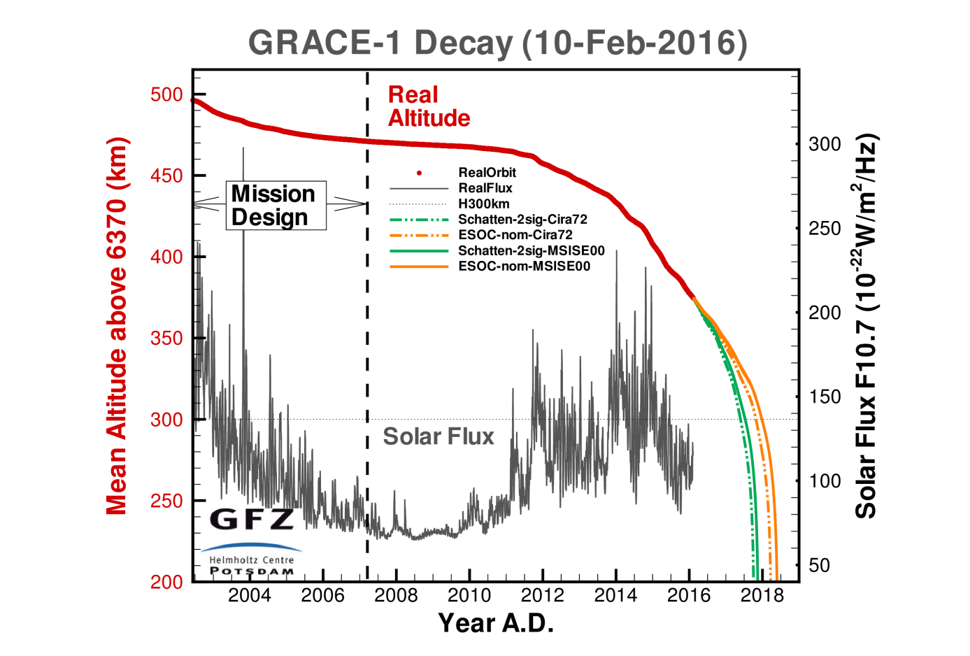
The success of the EGSIEM project, especially the near real time (NRT) gravity service, is strongly based on the availability of GRACE mission data. The twin satellites were launched in March 2002 with a nominal mission lifetime of 5 years. Today, after more than 14 years in orbit, the main instruments such as the Microwave Assemblies (MWA) being used for satellite-to-satellite tracking or the accelerometers which observe non-gravitational forces are still in nominal operation on both satellites. This is not only a result of the incredible work of the satellite and instrument manufacturers, but also of the GRACE mission operations team consisting of the German Space Operations Center (GSOC), Airbus Defense and Space, JPL and the GFZ German Research Centre for Geosciences.

GFZ Orbit delay table

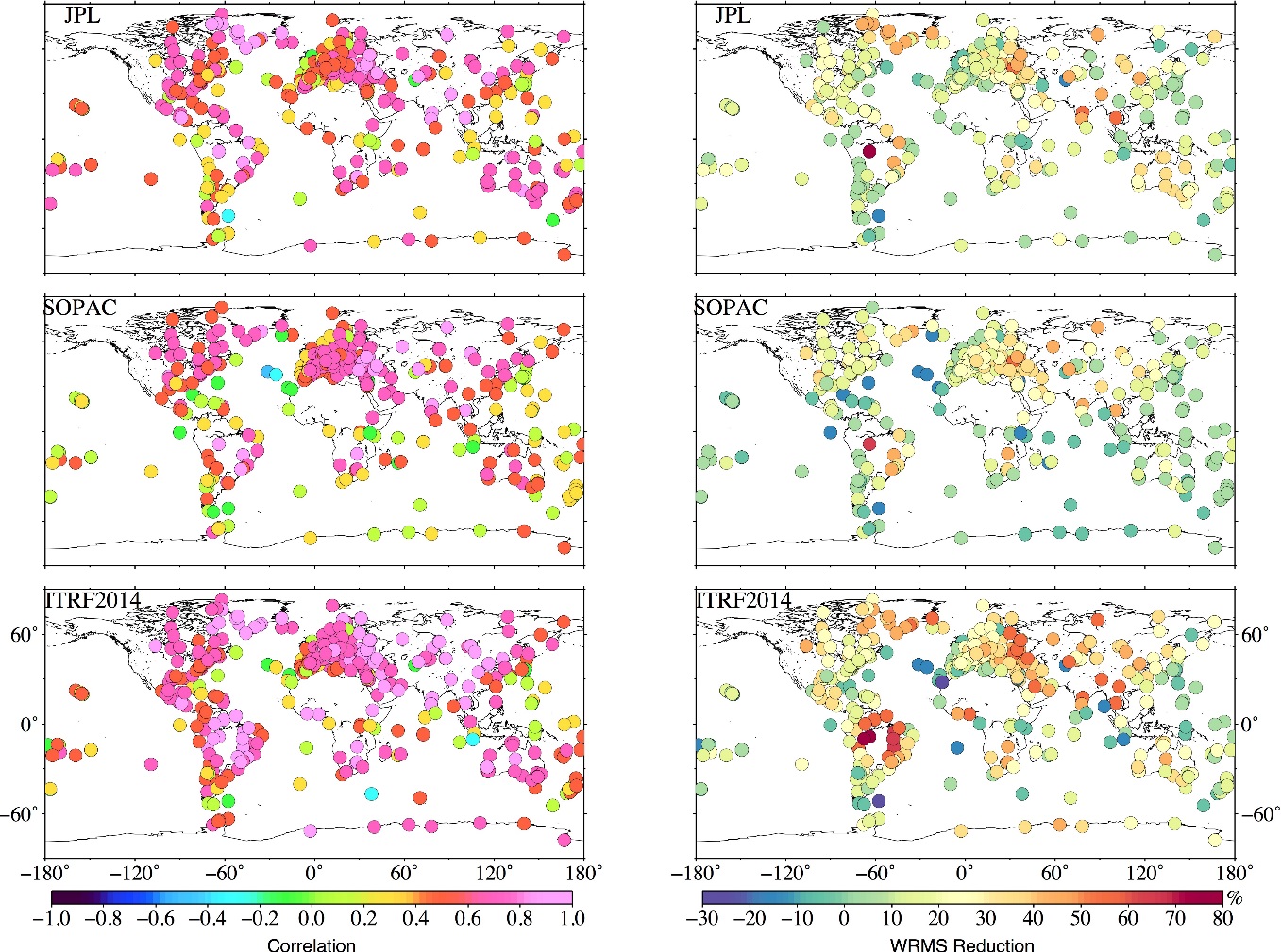
Continuing with the last blog entry from Universite du Luxembourg regarding the preliminary data processing for GPS validation, we present here an update on our work validating the EGSIEM combined monthly GRACE gravity fields using GPS observations.

Apart from the JPL and SOPAC GPS time series, the latest ITRF2014 solutions have also been adopted in this validation. The last ITRF2014 GPS time series were obtained from IGN in France, by rigorously stacking the latest IGS Repro2 daily solution, detrending, and restoring the annual and semi-annual signals.

EGSIEM Validation using GPS observations

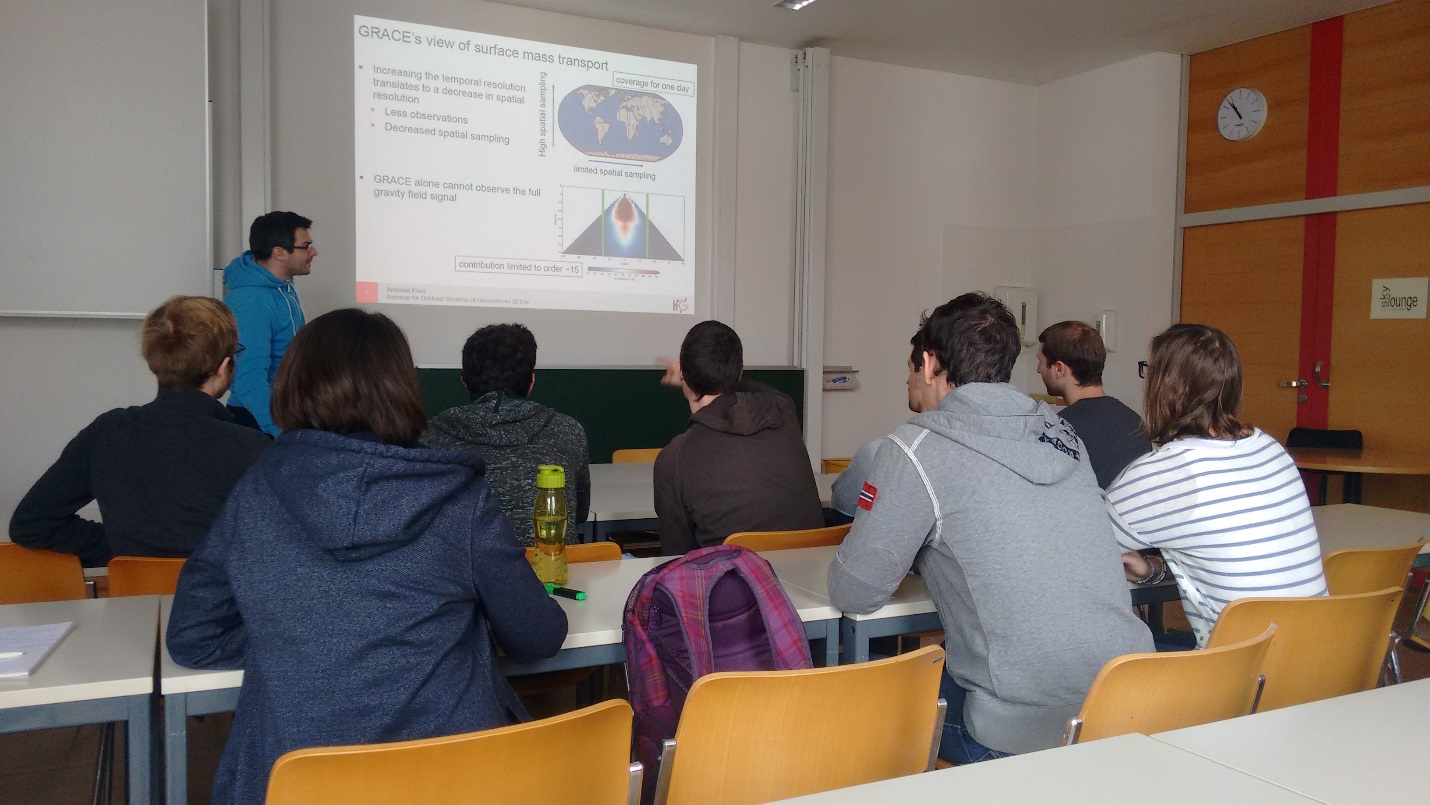
This semester, the geodesy and earth science students at Technische Universität Graz are introduced to the intricacies of GRACE processing.


In the lecture ‘Advanced Satellite Geodesy’ the students are taken through each step of the processing chain from raw data to the final gravity field models. Each lecture is held by one of the staff members of the GRACE group here at the Institute of Geodesy, presenting their respective research fields.

Classroom pic and link

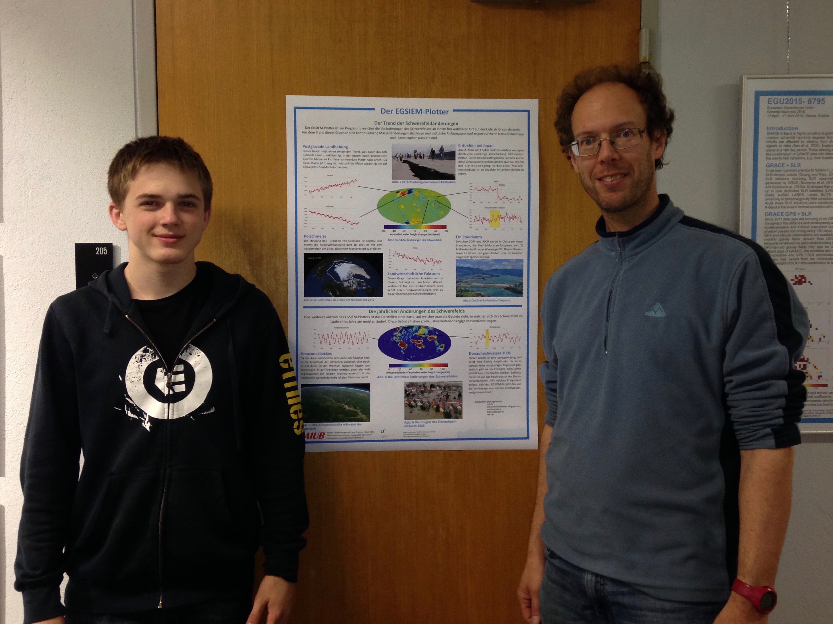
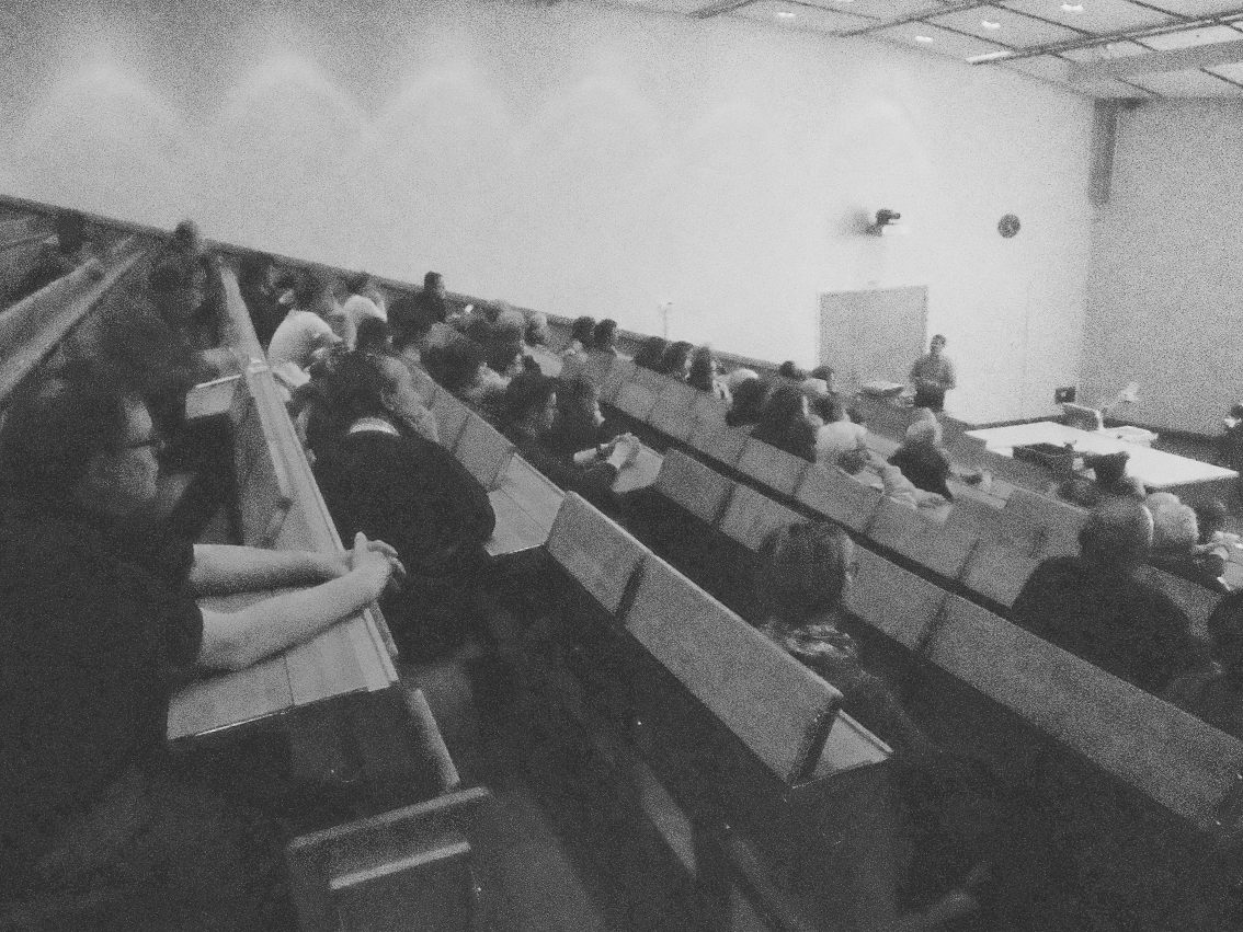
Last Friday (11. March 2016) the coordinator of EGSIEM (Prof. Adrian Jäggi) gave a public presentation entitled Von Wasser, Eis und Satelliten — und was uns die Schwerkraft über Umweltveränderungen verrät (link) within the Physik am Freitag lecture series in Bern, Switzerland. Please click on the link below to see some more pictures and to also view the presentation.

We hope those that attended the lecture have learnt a little more about how Earth Observation and gravity fields can be used to benefit everyone.


Grainy Audience


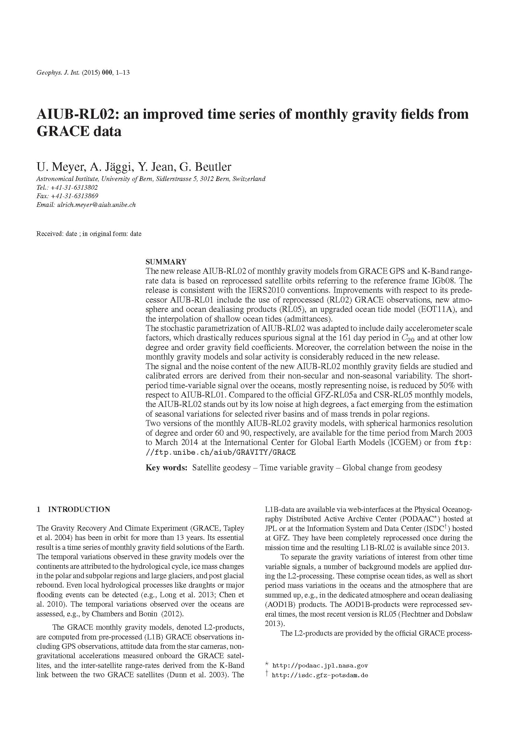
EGSIEM is pleased to announce its latest publication:

AIUB-RL02: an improved time series of monthly gravity fields from GRACE data, which has been written by U. Meyer, A. Jäggi, Y. Jean, & G. Beutler of the Astronomical Institute, University of Bern and is published in the Geophysical Journal International
Paper Cover Page

The EGSIEM project has the potential to make a real difference to people in europe and around the world, but you can’t achieve anything worthwhile without generating a certain amount of paperwork.


H2020 Event

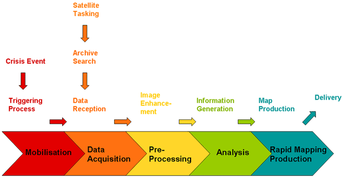
In figure 1 the typical rapid mapping workflow of ZKI during crisis situations is illustrated. After the disaster the initial mobilisation phase follows. Civil protection offices, situation centers or decision makers receive information regarding the occurrence of a crisis event and trigger ZKI activities either directly or indirectly through authorised users.

Workflow
Figure 1: Rapid Mapping Workflow - from crisis events to the delivery of information