Below you can find links to our latest products, and those of our partner institutions:
The EGSIEM scientific combination service provides two types of products.
Level 2 products are unfiltered spherical harmonic coefficients in the GFC format as defined by the ICGEM (http://icgem.gfz-potsdam.de/ICGEM-Format-2011.pdf).
They include:
1.) monthly gravity fields based on the contributions of the associated analysis centers (AIUB, GFZ, GRGS and ITSG) combined on normal equation level: EGSIEM_COMB_90_NEQ_YYYY_MM.gfc.gz (where YYYY is the four digit year, MM the two digit month, 90 the maximum degree/order and NEQ indicates the combination type).
2.) monthly means of the atmosphere component of the short periodic de-aliasing products used by the associated analysis centers: EGSIEM_ATM_100_YYYY_MM.gfc.gz (where YYYY is the four digit year, MM the two digit month, 100 the maximum degree/order and ATM indicates atmosphere).
3.) monthly means of the ocean component of the short periodic de-aliasing products used by the associated analysis centers: EGSIEM_OCN_100_YYYY_MM.gfc.gz (where YYYY is the four digit year, MM the two digit month, 100 the maximum degree/order and OCN indicates the type of de-aliasing product).
The monthly means of the de-aliasing products cover the time spans indicated in the headers of the files that correspond to the combined gravity fields, irrespective of eventual data gaps in the GRACE observations. This choice is motivated by the assumption that the users will not introduce data gaps in their own observational data to mimic the data coverage of GRACE.
Level 3 products are ready-to-use one-degree latitude/longitude grids in ASCII format. Degrees 1 are replaced by SLR-derived values. The filters applied to the EGSIEM L3-products are actually being re-designed. Unfortunately the first released set of EGSIEM L3 products contained a bug (the de-aliasing grids were applied twice, this was corrected on the 4th July). Please use only the new files.
ftp://ftp.aiub.unibe.ch/EGSIEM
The EGSIEM Plotter
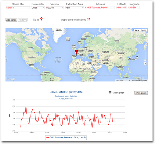
The following link will take you to the EGSIEM Plotter. It is an excellent Tool which will visualize GRACE data and much more.
ICGEM Database
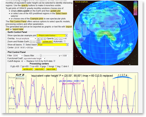
The International Center for Gravity Earth Models (ICGEM) is a user-oriented data center dedicated to gravity field products. It is one of six centres of the International Gravity Field Service (IGFS) of the International Association of Geodesy (IAG).
GRACE / TELLUS
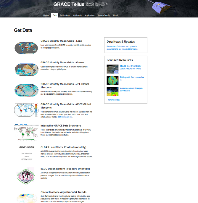
GRACE TELLUS provides user-friendly Level-3 data grids of monthly surface mass changes, with most geophysical corrections applied, to analyze changes in the earth's water budget.
http://grace.jpl.nasa.gov/data/get-data/


