Severe and very large flood events, such as the floods in central Europe in 2002 and 2013 or the flood in Pakistan in 2010 for example, are amongst the most devastating catastrophes for the Earth's population, economy and environment. According to the number of activations of the International Charter Space and Major Disasters, almost 50 percent of all major disasters during the last 15 years have been flood events.
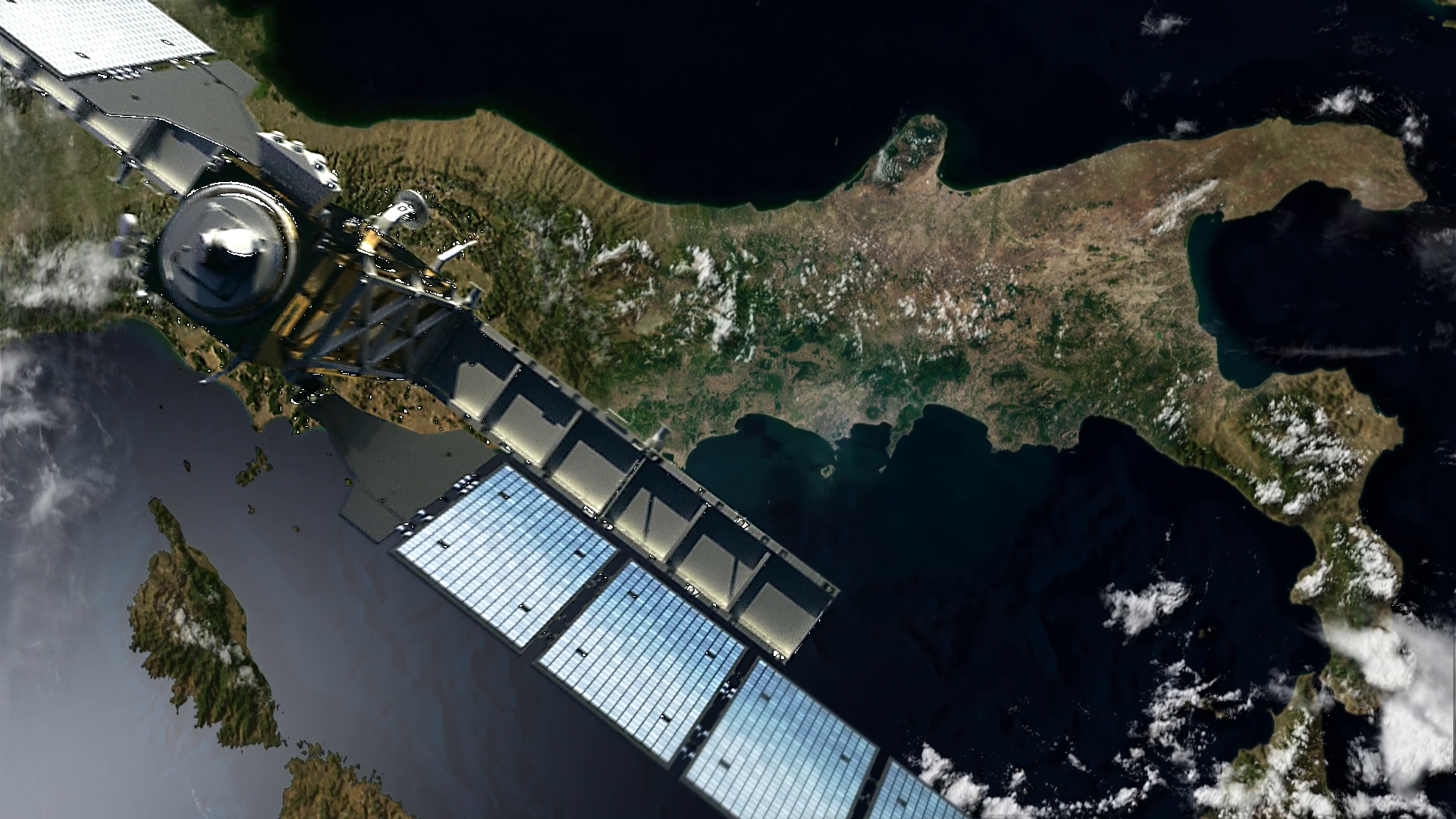
Due to their capability to present a synoptic view of the spatial extent of floods, satellite remote sensing technology has been successfully applied for flood mapping and monitoring applications. Because of their specific illumination, their day/night as well as all-weather capabilities, synthetic aperture radar (SAR) sensors (e.g. TerraSAR-X, Radarsat-2, ALOS-2 which all operate in different wavelengths, i.e. X,C and L-band) are optimally suited for providing reliable information on floods, which usually occur under rainy or at least cloudy conditions. In recent years, the global demand for crisis information on natural disasters like severe flood events has increased substantially.
Simultaneously, a rising awareness of the availability of satellite information has led to an increase in requesting the corresponding mapping services. Flood information is needed as quickly as possible to provide an overview of the situation and to improve crisis management and response activities.
New sensor systems such as the ESA Sentinel-1 satellites carrying a C-band SAR sensor provide new possibilities and a valuable resource for automatic flood detection since they constantly monitor the earth’s surface without having to be programmed over an area of interest. As soon as the two satellites Sentinel-1a and 1b are operational, each point on the earth will repeatedly be surveyed every 6 days and the data will be available at near-real time which is far less than 1 hour after satellite overpass. Analyzing such regularly acquired images allows the monitoring of floods, representing a valuable input for subsequent flood modelling techniques.
At the DLR’s Center for Satellite Based Crisis Information (ZKI) all these resources are used to support crisis management and response activities during large flood events. EGSIEM will provide an additional component to the whole rapid mapping workflow, since gravity field measurements are known to provide an improved forecast of hydrological extreme events. This will increase the preparedness of the emergency response in general but also the accuracy of satellite tasking and emergency mapping at the beginning of such extreme events and thus can help to reduce the impact of such extreme hydrological events.

