Home

GFZ Kalman-filtered daily GRACE gravity field solutions, computed on standard 2ºx2º equi-angular grids are now available for internal evaluation and verification. The grids are recursively predicted and consecutively updated by Poisson's integral over a set of radial basis functions in equi-areal surface tiles of available GRACE  K-Band data and reduced dynamic GRACE orbits.

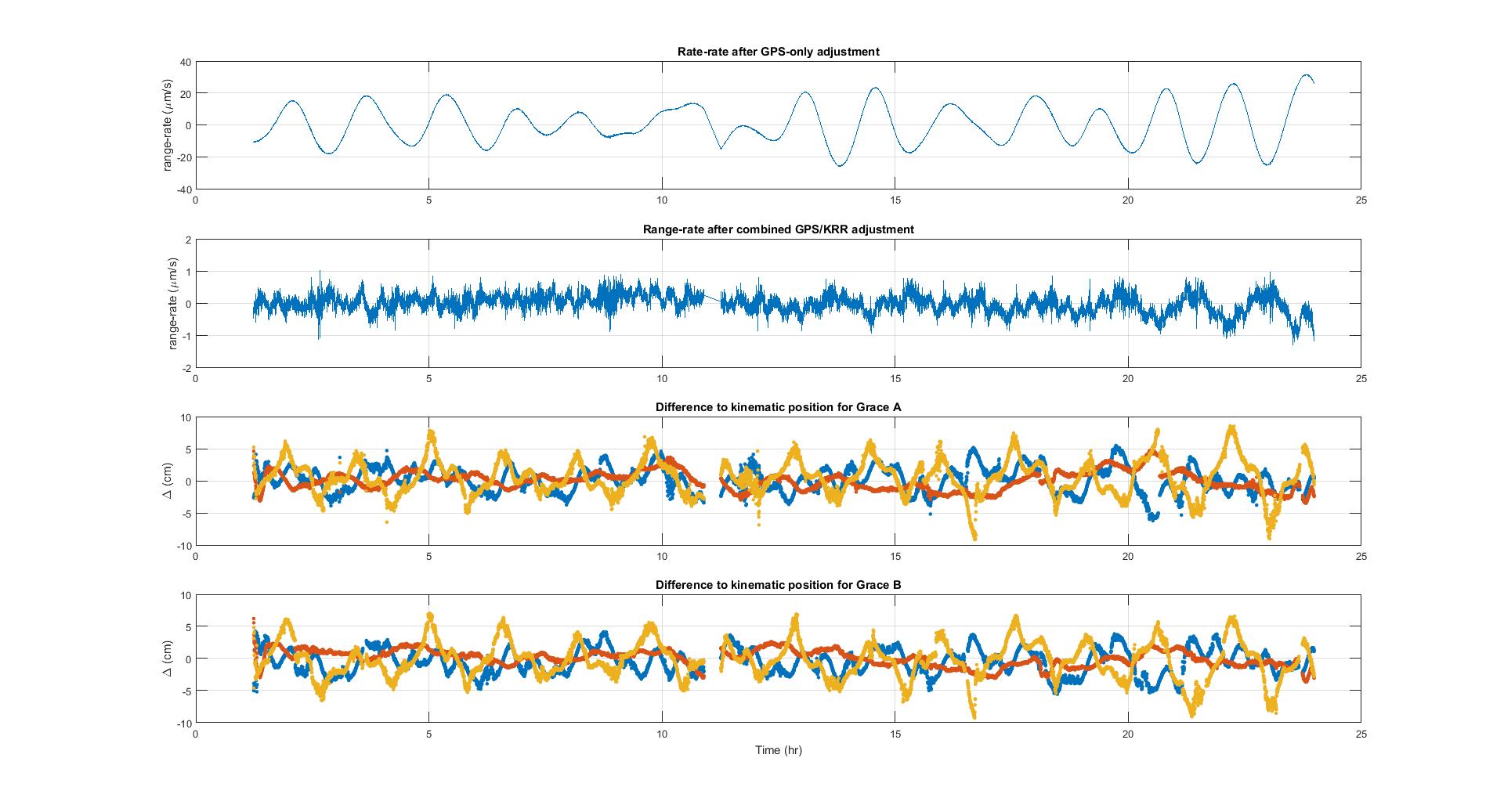
At the last EGSIEM project meeting (held in Potsdam, Germany in June), Zhao Li (of the University of Luxembourg) reported that she had problems calibrating the positions of GRACE A and B satellites when introducing K-Band observations. After some extremely helpful discussions with Uli Meyer, Adrian Jäggi, and some hand holding by Matthias Weigelt (BKG - Bundesamt für Kartographie und Geodäsie) Zhao went back and checked the code step by step.  After two months of extreme frustration, Zhao is now extremely happy and satisfied that she has found and solved the problems.  Now she gets a reasonable GPS/KRR combined reduced-dynamic orbits for GRACE A and B for the test date 01/01/2006. This means that we are getting closer to our final target.

Problems in solving combined GPS/KRR (Link)

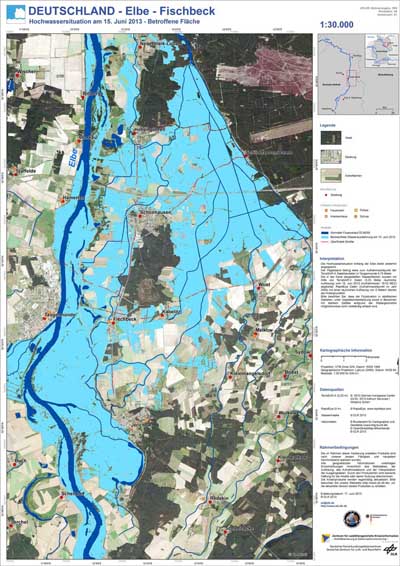
One of the main goals of EGSIEM is to establish a hydrological service which provides gravity-based indicators of extreme hydrological events such as floods and droughts. Contrary to other Earth Observation methods which record parameters such as surface reflectance, soil moisture, roughness or temperature; gravity measurements represent variations in the total water storage of the earth system. The EGSIEM hydrological service aims at developing indicators of the actual flood generation potential of a river basin, or of its susceptibility to a drought, thereby contributing to existing flood and drought monitoring and alerting systems. Such systems play a key role in the disaster management domain and in the satellite-based emergency mapping in particular.

Example of a flood extent map of the River Elbe, Germany 2013

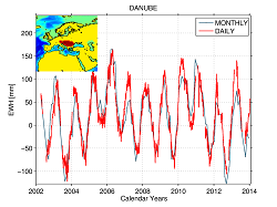
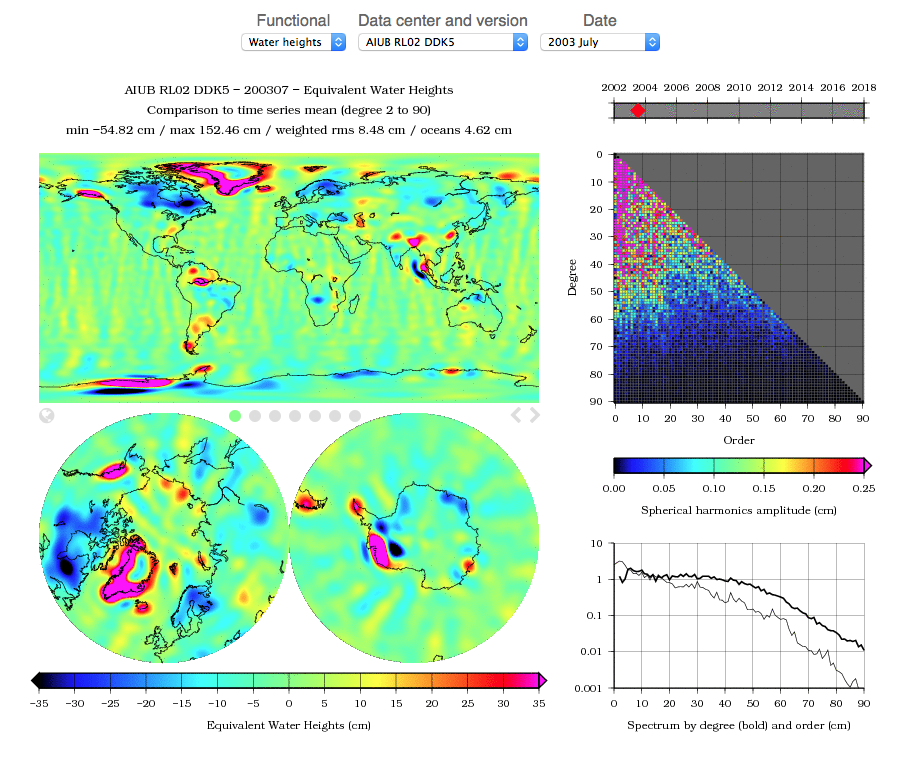
Readers already know our geographical extraction page for GRACE time-series, available at plot.egsiem.eu. In addition to this feature, we now add the possibility to easily visualize images of the GRACE solutions, in the form of grids of geoid heights and equivalent water heights. You will thus be able to browse images of solutions from the different groups of the project (AIUB, CNES, GFZ, TUGRAZ), and from some other centers (CSR, JPL).

EGSIEM Plotter Visualisation


This May, the fifth ESA Living Planet Symposium (LPS) was held in Prague, Czech Republic. Over 3000 participants from diverse scientific background, ranging from land management over geomagnetism to cryospheric sciences took part, making this the largest LPS to date. The keynotes from the Prime Minister of the Czech Republic, Bohuslav Sobotka and the ESA Director General, Johann-Dietrich Wörner highlighted the importance of Earth observation data for climate and disaster monitoring.

ESA LPS Header


Scientists from EGSIEM were able to present many facets of our project to Europe's largest gathering of geoscientists at the EGU conference where over 13,650 scientists from 109 countries participated.

Please click on the logo below to see a list of, and view, the EGSIEM-themed presentations and posters given at EGU2016. You can discover more about EGU conferences by clicking here.

EGU2016 Logo 


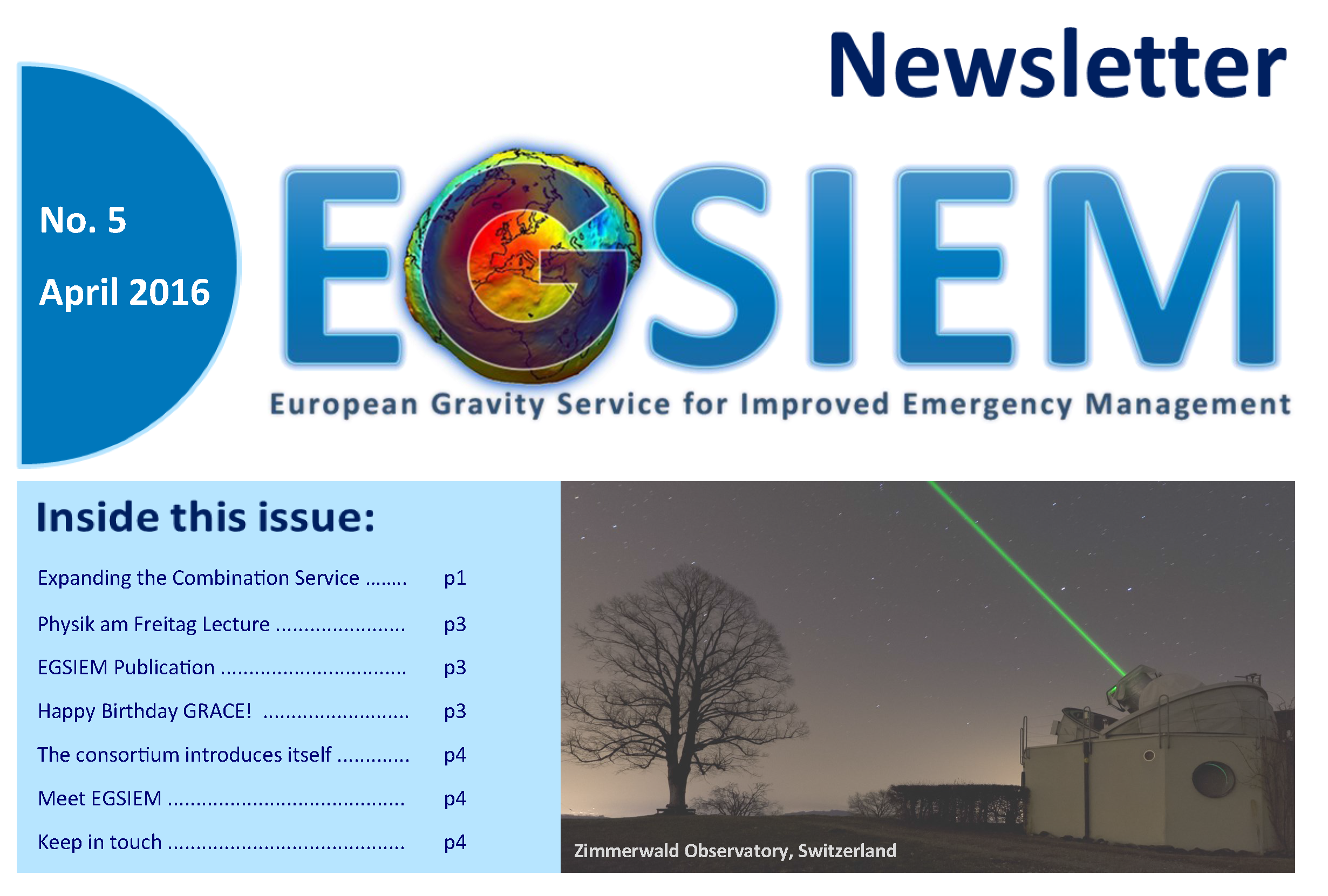
Here you can read our fifth Newsletter, simply click on the image below.

We would love to hear any feedback you might have on the content, so please do contact us if you have any comments!

Newsletter 5 Link

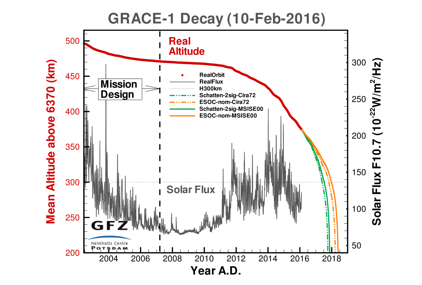
The success of the EGSIEM project, especially the near real time (NRT) gravity service, is strongly based on the availability of GRACE mission data. The twin satellites were launched in March 2002 with a nominal mission lifetime of 5 years. Today, after more than 14 years in orbit, the main instruments such as the Microwave Assemblies (MWA) being used for satellite-to-satellite tracking or the accelerometers which observe non-gravitational forces are still in nominal operation on both satellites. This is not only a result of the incredible work of the satellite and instrument manufacturers, but also of the GRACE mission operations team consisting of the German Space Operations Center (GSOC), Airbus Defense and Space, JPL and the GFZ German Research Centre for Geosciences.

GFZ Orbit delay table

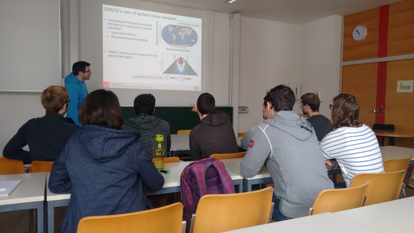
This semester, the geodesy and earth science students at Technische Universität Graz are introduced to the intricacies of GRACE processing.


In the lecture ‘Advanced Satellite Geodesy’ the students are taken through each step of the processing chain from raw data to the final gravity field models. Each lecture is held by one of the staff members of the GRACE group here at the Institute of Geodesy, presenting their respective research fields.

Classroom pic and link

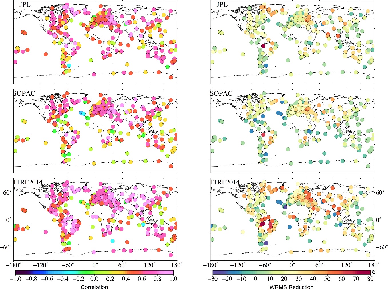
Continuing with the last blog entry from Universite du Luxembourg regarding the preliminary data processing for GPS validation, we present here an update on our work validating the EGSIEM combined monthly GRACE gravity fields using GPS observations.

Apart from the JPL and SOPAC GPS time series, the latest ITRF2014 solutions have also been adopted in this validation. The last ITRF2014 GPS time series were obtained from IGN in France, by rigorously stacking the latest IGS Repro2 daily solution, detrending, and restoring the annual and semi-annual signals.

EGSIEM Validation using GPS observations

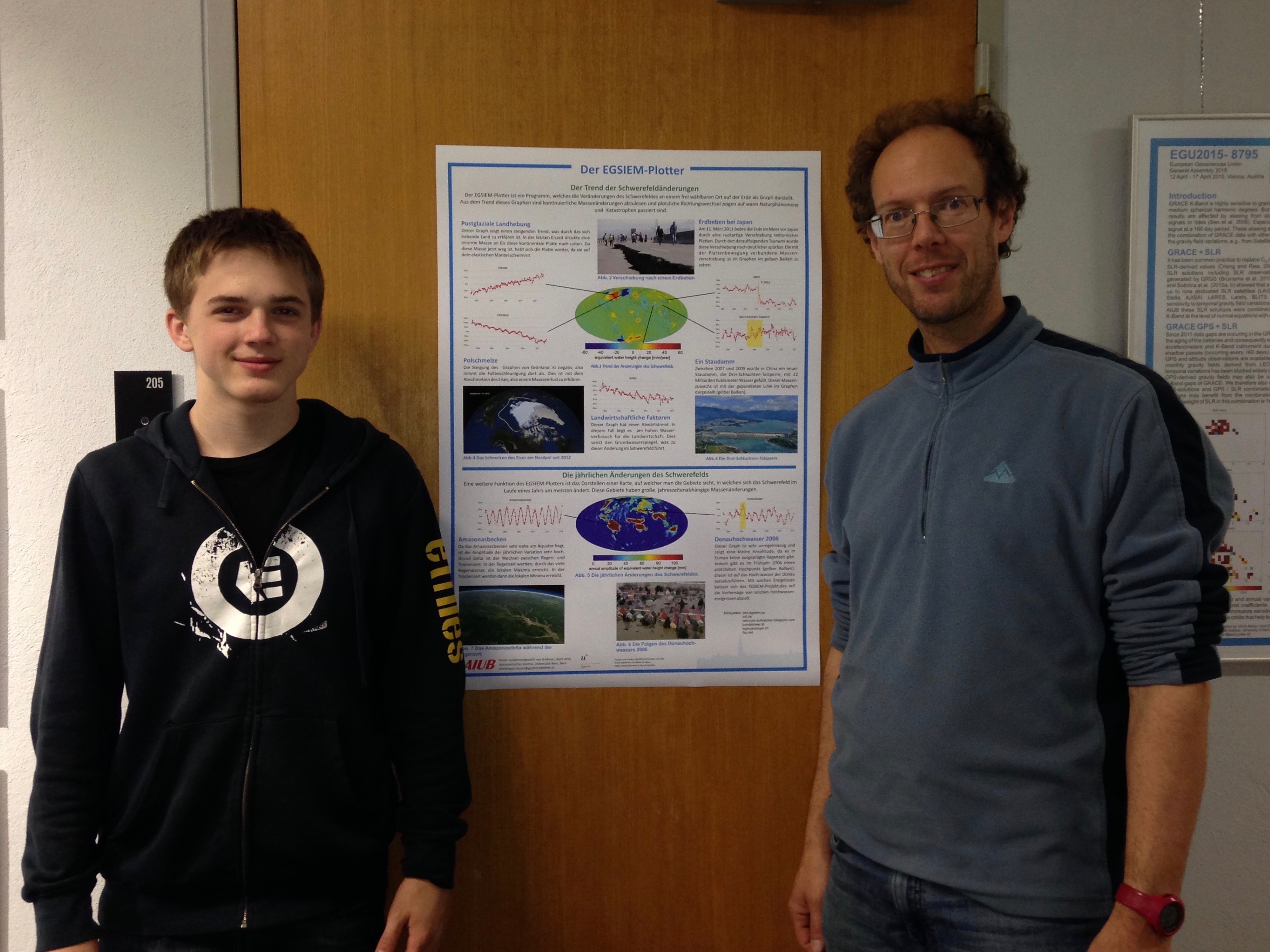
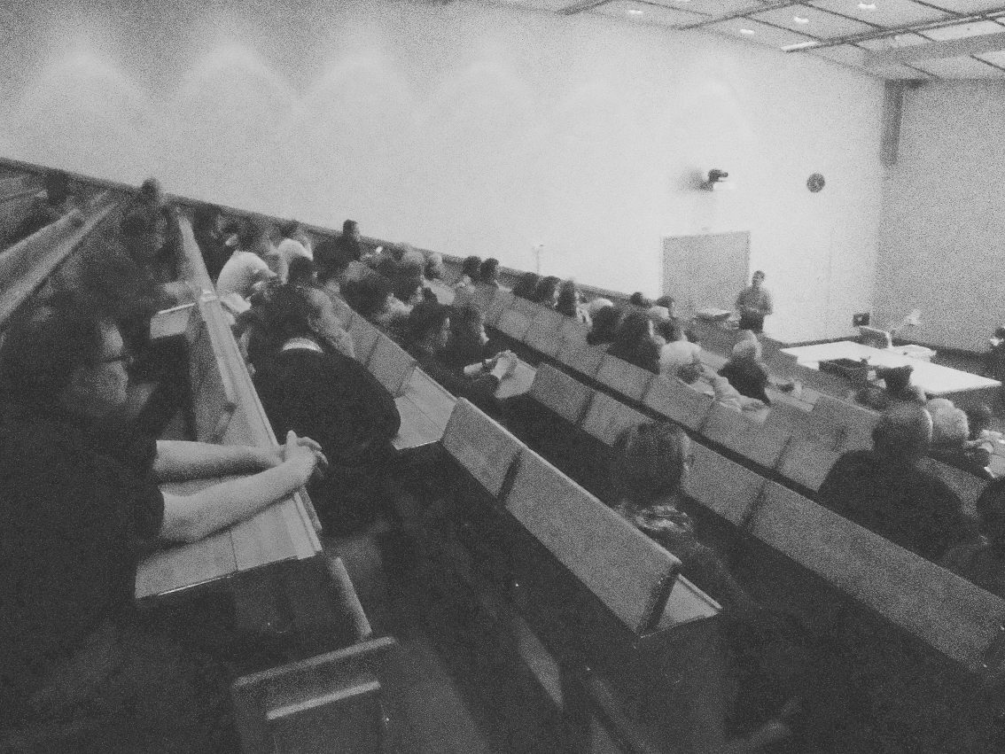
Last Friday (11. March 2016) the coordinator of EGSIEM (Prof. Adrian Jäggi) gave a public presentation entitled Von Wasser, Eis und Satelliten — und was uns die Schwerkraft über Umweltveränderungen verrät (link) within the Physik am Freitag lecture series in Bern, Switzerland. Please click on the link below to see some more pictures and to also view the presentation.

We hope those that attended the lecture have learnt a little more about how Earth Observation and gravity fields can be used to benefit everyone.


Grainy Audience